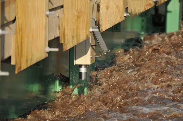
Stream gauges are ground-based sensors that measure the water level, or stage, of rivers and streams at specific locations. The flow, or discharge, of a river can then be calculated from these stage measurements. These gauges provide continuous data, making them useful for monitoring flood risk and water supply. The United States Geological Survey (USGS) operates a network of over 10,000 stream gauges across the United States to support flood prediction and water resource management.


Instrument Details
- Gauge
- Earth Science > Biosphere > Ecosystems > Freshwater Ecosystems > Rivers/streamEarth Science > Terrestrial Hydrosphere > Surface Water > Surface Water Processes/measurements > Stage Height
- Subsurface - Sea/Ocean/Water
- Variable
- Point
- N/A
- Currently unavailable
Currently unavailable
Currently unavailable
USGS, Iowa Flood Center
Currently unavailable
Currently unavailable
Filter data products from this instrument by specific campaigns, platforms, or formats.
CAMPAIGNS
PLATFORMS
FORMATS


